
Best GPS and Mapping Tools for Bird Hunting in Michigan
From dense grouse coverts in the U.P. to sprawling state game areas near the Thumb, success in Michigan’s bird country depends on more than just instinct—it requires precision. A modern GPS unit or mapping app can mean the difference between finding hidden timber cuts, navigating public land boundaries, and making it back to the truck before sundown. Here’s how to harness GPS for better, smarter hunting.
Why GPS Matters for Bird Hunters
-
✅ Find and track hidden covers or cuts
-
✅ Avoid private property trespass
-
✅ Mark flush zones, covey rises, or productive areas
-
✅ Navigate dense or remote terrain safely
-
✅ Scout efficiently pre-hunt using satellite layers
Top GPS Tools and Devices for Michigan Hunters
1. onX Hunt App (Mobile-Based)
-
Best For: Public/private land overlays, scouting, and offline navigation
-
Features:
-
Detailed property lines and landowner info
-
Custom waypoints for flushes, blinds, and roosts
-
Michigan-specific hunting zone overlays
-
Offline map access (critical in the U.P. and backcountry)
-
Pro Tip: Use the Timber Cuts layer for ruffed grouse—look for 5–15 year old logging tracts.
2. Garmin Alpha 200i + TT15 Collar (Dog Tracking + GPS)
-
Best For: Upland hunters running bird dogs
-
Features:
-
Live tracking of multiple dogs with GPS signal
-
Customizable hunting screens
-
Emergency SOS (with inReach subscription)
-
Preloaded topo maps + HuntView downloads
-
Pro Tip: Use the Alpha’s “Covey Count” mark feature for productive areas.
3. BaseMap App (Budget-Friendly onX Alternative)
-
Best For: Mobile navigation with robust land access info
-
Features:
-
Property lines, hunt units, and real-time location
-
Gear and waypoint sharing with hunt partners
-
Wind direction tools and sunrise/sunset timers
-
Water sources and game trails
-
Pro Tip: Ideal for field goose and duck hunters navigating private parcels.
4. Garmin eTrex 32x (Rugged, Standalone Handheld)
-
Best For: Battery-reliant hunts off-grid (e.g., U.P. timber or big water)
-
Features:
-
No cell signal needed
-
Highly accurate topo maps and trails
-
Small, tough, and lightweight
-
Supports microSD topo map expansion
-
Pro Tip: Keep lithium AA batteries for cold weather—alkalines die fast in frost.
5. HuntStand Pro App (Best for Property Management + Mapping)
-
Best For: Scouting, habitat mapping, stand locations
-
Features:
-
Weather and wind forecasts
-
Property lines and public overlays
-
Aerial, hybrid, and topo map layers
-
Stand/cover/terrain mapping tools
-
Pro Tip: Use “Hybrid View” for marking wetland edges and crop changes for dove and pheasant hunts.
🧭 Best Practices for Using GPS in the Field
-
Download maps ahead of time for offline use
-
Label everything: flush zones, blind sites, entry points
-
Backtrack mode: use GPS breadcrumb trail when in dense cover
-
Carry backup battery or solar charger for phone-based apps
-
Know the laws: crossing into private land—even unknowingly—is a violation
🔋 GPS vs. Mapping App: Which Is Better?
| Feature | Handheld GPS (Garmin) | Mobile App (onX/BaseMap) |
|---|---|---|
| Signal independence | ✅ Yes | ❌ Needs download or service |
| Dog tracking | ✅ Garmin Alpha | ❌ Not available |
| Landowner data | ❌ Limited | ✅ Yes (w/ subscription) |
| Battery runtime | ✅ 15–25 hrs (AA) | ❌ Dependent on phone |
| Mapping layers | ✅ Topo + HuntView | ✅ Satellite, Hybrid |
| Best for | Remote upland, dogs | Scouting & field flexibility |
🎯 Pro Tips from Michigan Hunters
-
“I use onX to mark every flush, and after 3–4 trips, patterns start to form.”
-
“Garmin Alpha is worth its weight in gold if you run a setter or pointer.”
-
“Offline maps are your best friend in cedar swamps and U.P. backcountry.”
-
“Use GPS tracks to stay legal—Michigan’s patchwork land ownership is tricky.”
🧰 Optional Extras for GPS Use
-
Waterproof phone case
-
Chest or belt GPS holster
-
Portable battery bank
-
Lanyard or tether for safety
-
Stylus for cold-weather touchscreens
Conclusion: Navigate Like a Pro
Great bird hunters read the wind, the land—and the map. In Michigan, where terrain, property lines, and cover density change by the mile, GPS technology is a modern wingshooter’s edge. Whether you’re scouting timber for grouse or setting blinds in Saginaw Bay, one thing’s certain: good mapping leads to better hunting.
“The birds don’t carry GPS—but you should. Mark the spots, track the cover, and hunt with purpose.”
Leave A Comment
Related Posts
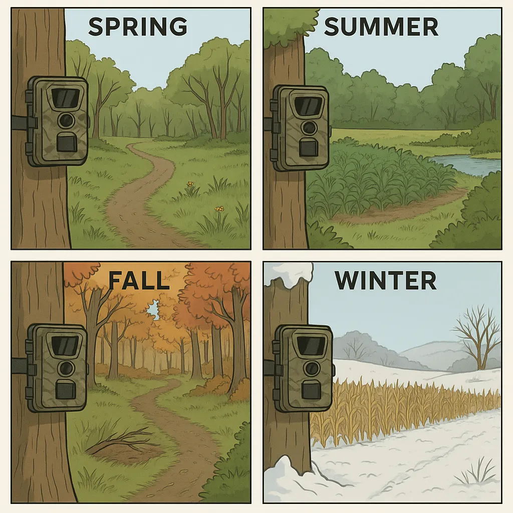
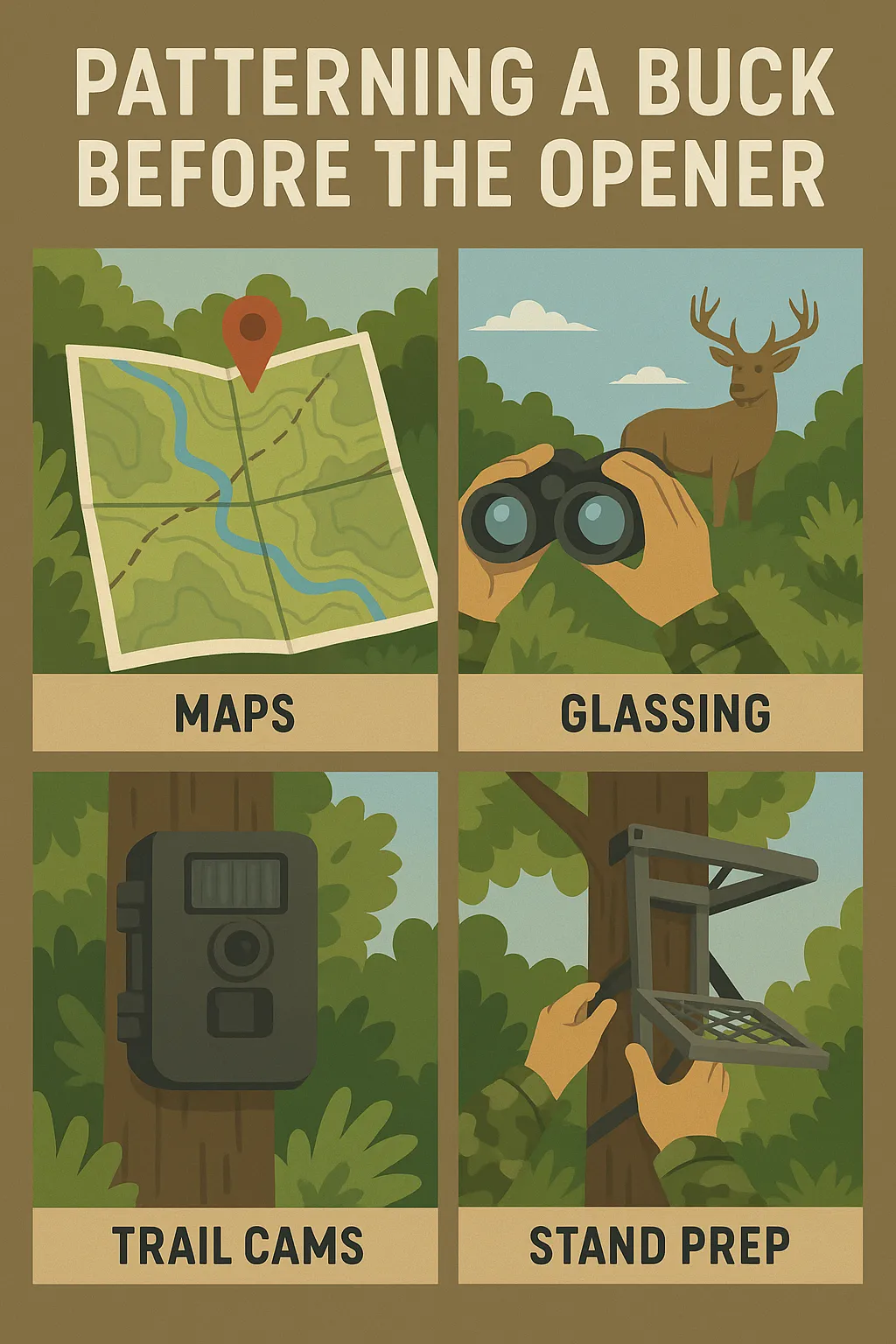
Trail Cam Strategy by Season: When & Where to Set […]

Women-Specific Hunting Gear That Actually Performs in 2025 Forget the […]
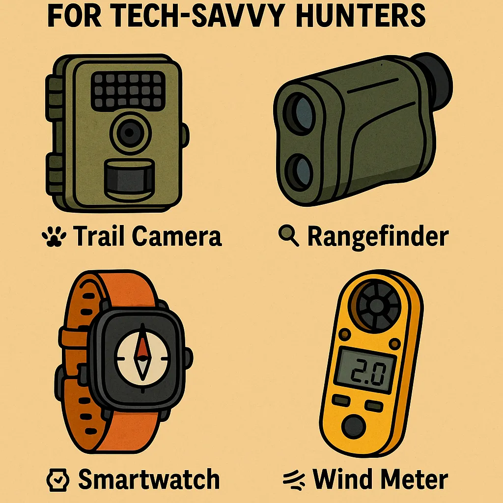
Must-Have Gadgets Under $100 for Tech-Savvy Hunters You don’t need […]
