
Combining Topo Maps and Digital Terrain Models for Strategic Positioning
In 2025, top hunters aren’t just scouting—they’re strategizing with 3D terrain tools and classic topo wisdom. By layering traditional topographic maps with modern digital terrain models (DTMs), hunters gain powerful insight into game movement corridors, glassing angles, thermals, and hideouts long before boots hit the ground. Here’s how to combine both tools for pinpoint positioning this season.
📐 What Are Topo Maps and DTMs?
🟢 Topo Maps:
- 2D maps using contour lines to show elevation
- Indicate ridges, saddles, benches, and drainages
- Great for paper navigation and macro-planning
🟣 Digital Terrain Models (DTMs):
- 3D digital representations of land surface
- Used in mapping apps for slope, aspect, and visibility analysis
- Often powered by LIDAR or satellite imagery
🎙️ “Topo maps gave me the shape, DTMs gave me the angles. Together, they showed me where to sit.”
— Travis N., Kentucky
🧭 Step 1: Identify Key Terrain Features
🏞️ Combine Tools to Locate:
- Benches: Flat shelves on slope—often used for bedding
- Saddles: Low points between two high spots—great ambush funnels
- Drainages: Game travel corridors and wind tunnels
- Thermal hubs: Where multiple valleys converge (DTM heat maps)
🔎 Apps That Offer Both Views:
- OnX Hunt 3D: Contour + slope color
- Gaia GPS: Multiple map layers & aspect tools
- BaseMap: Terrain Xray & 3D flyover
🎙️ “My first saddle buck came from a DTM view—looked flat on the topo, but the 3D showed a deep dip.”
— Marissa J., Montana
🔍 Step 2: Analyze Slope, Aspect & Access
📊 Use DTM for:
- Slope Analysis: Steep zones = bedding escape routes
- Aspect: South-facing for warm bedding in winter; north for cool summer movement
- Line of Sight: Use viewshed tools to pick glassing knobs and blind spots
📌 Access Planning:
- Plot entry based on lowest visibility + scent drift
- Avoid skyline trails seen from valleys or benches
🎙️ “I use Gaia’s slope shade to see where deer bed above my approach—then sneak around the back.”
— Jake F., Pennsylvania
🛠️ Step 3: Build a Terrain-Based Hunt Plan
| Terrain Feature | Positioning Tip | Tool To Use |
|---|---|---|
| Saddle | Set stands 30–50 yards downwind | OnX + DTM slope view |
| Bench | Glass above in morning thermals | Gaia 3D + topo |
| Ridge Spine | Hunt leeward side with falling thermals | DTM slope + wind map |
| Drainage | Use for midday movement intercepts | BaseMap + wind rose |
🎙️ “When I align terrain with thermals and time of day, I can predict movement windows almost down to the hour.”
— Leah R., Utah
🧠 Pro Tips from Experienced Scouters
- Always toggle between 2D and 3D to validate what you see
- Layer wind history over terrain for scent-based setups
- Export key terrain zones into offline folders for mobile use
- Draw in natural pinch points on printed maps for backup
🎙️ “3D terrain told me where to ambush, topo told me where to hike, and wind maps told me when.”
— Casey B., Colorado
📣 Resources for Terrain Tools
- Apps: Gaia GPS, OnX Hunt, BaseMap Pro, HuntStand Pro
- Communities: E-Scouting Nation, Backcountry Forum, SaddleHunter
- Tech Tutorials: HuntWise Webinars, DIY Sportsman Terrain Series, YouTube 3D Hunt Prep
Pro Tip: Terrain reveals the “why” behind every track, scrape, and movement. Learn to read it like a map—and a story.
🌟 Final Elevation: Terrain Is the Tiebreaker
In a crowded hunting zone, understanding terrain can be the difference between hope and harvest. Combining topo and digital models transforms your plan from generic to tactical. Know the folds, flow with the wind, and own the elevation.
“Where you sit is strategy. How you choose it is science.”
Leave A Comment
Related Posts

Women-Specific Hunting Gear That Actually Performs in 2025 Forget the […]
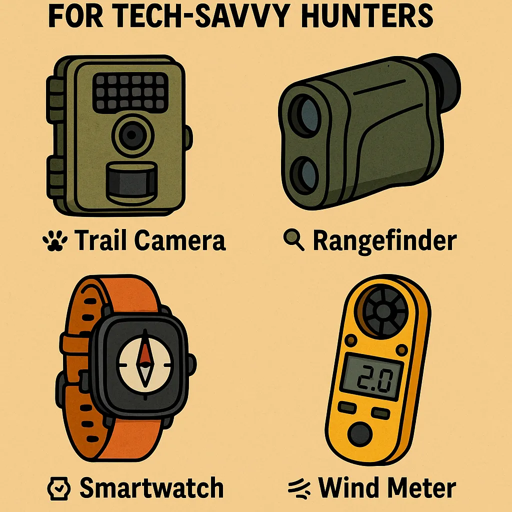
Must-Have Gadgets Under $100 for Tech-Savvy Hunters You don’t need […]

Eco-Friendly & Sustainable Hunting Gear Options in 2025 The modern […]
