
Mapping Software Tips – Scouting Before You Set Foot on Land in 2025
In today’s tech-forward hunts, the best hunters scout before they even lace up their boots. Whether you’re prepping for public land elk or narrowing down turkey roost zones, the smart use of mapping software can turn online hours into real-world success. Here’s how seasoned outdoorsmen are leveraging mapping apps, terrain tools, and data layers to build game plans from the couch to the coulees.
📱 Top Mapping Platforms for Hunters
🥇 OnX Hunt
- Land ownership boundaries (public/private)
- Offline maps with 3D topography
- Hunting-specific layers: trails, water, access gates
🥈 BaseMap
- Real-time animal movement prediction
- Weather and wind overlays
- SmartMarkers and range ring tools
🥉 Gaia GPS
- Multi-layer support (USFS, slope angle, satellite)
- Route planning and downloadable GPX tracks
- Ideal for western hunts and backcountry nav
🎙️ “I plan every single trip with OnX. 3D mode shows me where bedding meets slope. Then I verify boots-on-the-ground.”
— Eli P., Idaho
🧠 Step 1: Define Your Target and Terrain
🔹 Know What You’re After:
- Elk = benches, north slopes, saddles, water
- Whitetail = edge habitat, funnels, timber breaks
- Turkey = roost trees near fields and creeks
🔹 Use Layers to Filter Fast:
- Turn on slope, timber, water, ag, and burn overlays
- Identify food–cover–travel triangles
🎙️ “My e-scouting nailed a saddle pinch point—I saw three bucks pass through in the first week.”
— Cody M., Pennsylvania
🔍 Step 2: Mark Points of Interest & Build a Hunt Plan
📌 Smart Marking Strategy:
- Color-code waypoints (bedding, feeding, glassing, danger)
- Use icons consistently: binos for glassing, bed for bedding, deer for sign
- Add notes: trail cam ideas, historical sign, pressure points
🗺️ Route Building:
- Plan access routes avoiding skyline trails
- Plot wind-based entry/exit options
- Build 2–3 contingency plans per zone
🎙️ “My notes on wind direction and thermals saved my hunt more than once.”
— Sarah H., Colorado
📊 Step 3: Overlay Tech + Offline Prep
| Tool/Layer | Use Case | Notes |
|---|---|---|
| 3D Map View | Visualizing elevation + cover | Crucial for backcountry terrain reads |
| Private Land Ownership | Door-knocking or permission hunts | Double-check boundaries before trip |
| Aerial/Satellite Imagery | Spotting clear cuts, ag fields | Compare new vs. old growth |
| Wind History | Plotting stand/blind based on drift | HuntStand or BaseMap integrations |
| GPX/KML Import | Share pins with partners | Sync devices before heading out |
🎙️ “I export all my OnX pins and import them into Gaia for long hikes—belt and suspenders setup.”
— Blake T., Oregon
🧠 Pro Tips From the Field
- Pre-load maps in offline mode before heading out
- Scout in layers—start big (zone), narrow down (saddle), then pinpoint (stand tree)
- Print backup maps in case tech fails
- Use historical imagery to detect seasonal crop changes or burn recovery
🎙️ “You don’t want to guess at 3AM with no signal. Download, print, and plan twice.”
— Nick R., Kansas
📣 Resources & Scout Talk
- Apps & Platforms: OnX Hunt, BaseMap, Gaia GPS, HuntStand Pro
- Communities: HuntTalk, SaddleHunter, e-Scouting Nation
- YouTube Field Tests: DIY Sportsman, Hushed Hunts, East Meets West
Pro Tip: Your hunt begins long before opening day. E-scouting is intel. Treat it like recon.
🌟 Final Map Pin: Scout Smart, Hunt Sharp
The best hunts in 2025 start with digital boots on the ground. Whether you’re glassing ridgelines through a satellite screen or dropping pins on thermals and trails, your hunt begins with maps. Scouting software doesn’t replace real effort—it makes every mile matter more.
“Every pin tells a story. Put enough of them together, and you’re writing your own.”
Leave A Comment
Related Posts

Women-Specific Hunting Gear That Actually Performs in 2025 Forget the […]
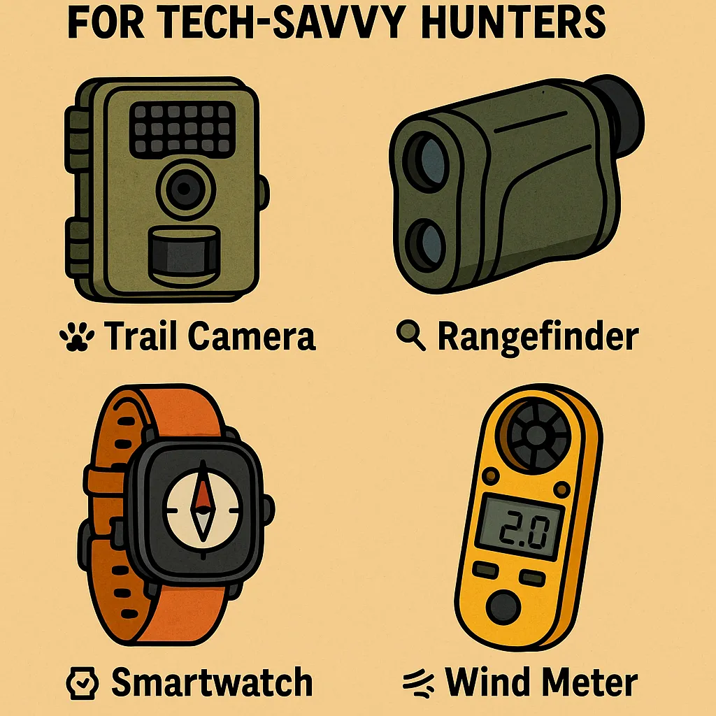
Must-Have Gadgets Under $100 for Tech-Savvy Hunters You don’t need […]

Eco-Friendly & Sustainable Hunting Gear Options in 2025 The modern […]
