
Western Big Game Scouting – E-Scouting and Elevation Timing
In the vast, open country of the West, boots on the ground aren’t always enough—or even possible before the season opens. That’s where e-scouting, digital tools, and elevation-aware planning come in. From early archery elk to late-season mule deer, understanding how elevation impacts timing is the foundation of successful hunts in 2025. Here’s how seasoned western hunters are using tech and terrain to plan smarter, pack lighter, and punch more tags.
🗺️ Step 1: Elevation Drives the Season
🧠 Why Elevation Matters:
- Early-season hunts = high elevation (10,000–12,000 ft)
- Mid-season = transition zones (7,000–9,000 ft)
- Late-season = winter range (5,000–7,000 ft)
🎯 Match Game to Elevation:
- Archery elk (Aug–Sept): Timberline benches and alpine meadows
- Rifle mule deer (Oct–Nov): South-facing ridges and mid-mountain saddles
- Late cow elk (Nov–Dec): Open flats and foothill sagebrush pockets
🎙️ “Elevation is more reliable than the calendar. Find where the feed and shade meet—no matter the month.”
— Jake F., Idaho
🔍 Step 2: E-Scouting Terrain Features
🔭 What to Look For:
- North slopes for bedding
- Saddles and benches for travel corridors
- South-facing openings for late-season feed zones
- Creek drainages and wallows for mid-September elk
🛠️ Best Tools:
- OnX Hunt 3D – Terrain shading, private/public overlays, elevation filters
- Gaia GPS – Slope analysis, offline topo + hybrid layers
- Google Earth Pro – Time slider to analyze snow melt, tree cover, water levels
🎙️ “I found my entire elk loop by mapping every saddle with a water source under 9,500 feet.”
— Tyra M., Montana
🌄 Step 3: Timing = Pressure + Weather
🧭 What to Consider:
- Early season = solitude, but thermals rule
- Mid-season = highest pressure, requires off-grid planning
- Late season = cold, limited access, but consolidated game
🔑 Smart Scouting Habits:
- Mark glassing knobs with both morning and evening visibility
- Use elevation bands to plan camp vs. hunt zones
- Watch for migration corridors by overlaying historic movement data (state GIS tools)
🎙️ “The herd dropped 1,000 feet in two days after the snow hit. Without elevation tracking, I would’ve missed them.”
— Marcus N., Wyoming
📦 Gear to Match Elevation & Timing
| Gear Item | Elevation Phase | Why It Matters |
|---|---|---|
| Ultralight bivy shelter | Early timberline | Reduce weight, increase flexibility |
| Trekking poles | All elevations | Aid packouts and stability |
| Spotting scope | Mid/late transition | Long-range glassing from ridges |
| Snow gaiters | Late-season low country | Manage crust, drifts, and wet sage |
🧠 Pro Tips from Digital Scouting Experts
- Cross-check multiple maps—satellite, topo, slope, and land use
- Mark backup plans 5+ miles from primary zone
- Download maps for offline—no cell = no excuses
- Pair e-scouting with old-school journals from previous seasons
🎙️ “I don’t scout for spots. I build a network of options by elevation band and wind direction.”
— Cole D., Colorado
📣 Tools & Communities for Western E-Scouting
- Apps: OnX Hunt Elite, BaseMap Pro, HuntStand Pro Whitetail
- Websites: GoHunt Insider, Huntin’ Fool Map Scout, Rokslide Forums
- YouTube: Elevation Addicts, ElkShape, Western Hunter Tactics
Pro Tip: When the mountains get big, so should your scouting strategy.
🌟 Final Map: From Digital to Dirt
Great e-scouting isn’t about pinning “spots”—it’s about building huntable patterns. Use elevation bands, terrain analysis, and weather timing to build flexible plans that work before your boots ever hit the trailhead.
“Elevation tells you where. Timing tells you when. E-scouting makes sure you get there first.”
Leave A Comment
Related Posts
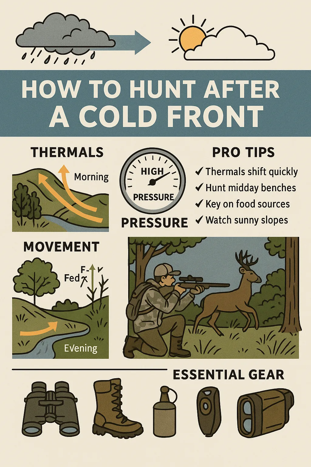
How to Hunt After a Cold Front: Pressure, Thermals & […]
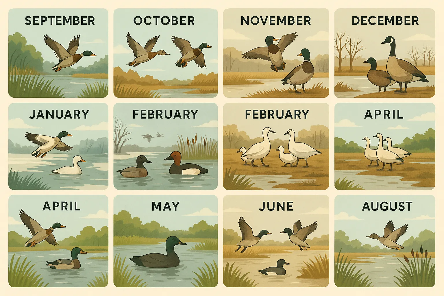
Hunting Waterfowl in the Mississippi Flyway: Monthly Breakdown The Mississippi […]
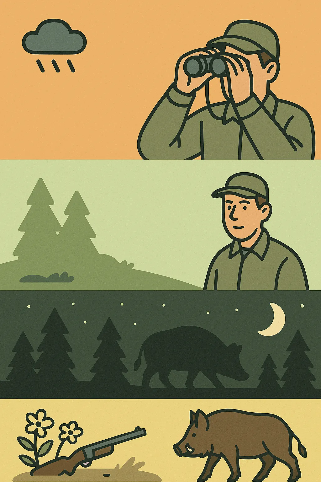
Southeastern Hog Hunting Tactics by Month Feral hogs in the […]
